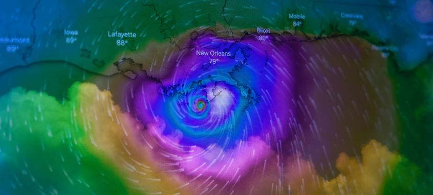
On May 16 and 17, 2024, Houston, Texas, experienced one of the most severe windstorms in its history. A powerful derecho swept across the region, bringing wind gusts reaching up to 100 miles per hour and spawning four EF1 tornadoes. The storm left eight people dead, shattered windows in downtown skyscrapers, and caused widespread power outages for more than a million residents. With damage estimates exceeding $1.2 billion, it was a wake-up call for many who had never heard the term “derecho” before.
So, what exactly is a derecho—and why was this one so destructive?
What Is a Derecho?
A derecho (pronounced deh-REY-cho) is a widespread, long-lived windstorm associated with a band of rapidly moving showers or thunderstorms. Unlike tornadoes, which are localized and often funnel-shaped, derechos produce straight-line winds over a large geographic area. These storms can rival hurricanes and tornadoes in terms of destructive power, but they often receive less public attention.
The term comes from the Spanish word for “straight,” which reflects the direct path these winds typically take. To be classified as a derecho, a storm must produce a swath of wind damage extending more than 240 miles and include wind gusts of at least 58 mph along most of its length. Gusts over 75 mph, like those seen in Houston, are common in stronger derechos.
How Do Derechos Form?
Derechos develop from organized groups of thunderstorms known as mesoscale convective systems (MCS). These systems typically form in environments with high atmospheric instability and strong wind shear. When conditions align—usually during late spring or summer—the storms can organize into a bow-shaped radar signature, indicating the presence of intense straight-line winds.
As the storms move rapidly forward, the cooler air from downdrafts collides with warmer air ahead of the storm. This interaction helps to sustain and spread the storm system, sometimes across several states. Derechos can last for hours and cover hundreds of miles.
The May 2024 Houston Derecho: What Made It So Extreme?
While derechos are more common in the Midwest and Plains, they can—and do—occur in the South. The May 2024 event in Houston was particularly destructive due to a combination of factors:
- Urban Impact: The storm hit a densely populated metropolitan area, amplifying both human and economic losses.
- High Wind Gusts: Winds exceeded 100 mph in some areas, strong enough to uproot trees, destroy roofs, and blow out windows in downtown high-rises.
- Tornadoes: The derecho spawned at least four EF1 tornadoes, adding to the chaos and damage.
- Power Infrastructure: More than a million people lost power, some for days, due to damage to the electrical grid and substations.
This event underscored the vulnerability of even major urban centers to windstorms typically associated with more rural parts of the country.
How to Prepare for Future Windstorms
Given their speed and intensity, derechos offer limited warning time. However, there are several steps individuals and communities can take to reduce risks:
- Stay Informed: Use weather apps, local news, and NOAA alerts to monitor severe weather forecasts, especially during peak storm seasons.
- Secure Property: Trim trees, secure outdoor furniture, and reinforce windows and roofs where possible.
- Emergency Kits: Keep a well-stocked emergency kit that includes water, food, flashlights, batteries, and first aid supplies.
- Power Backup: Consider investing in backup power solutions like generators, especially if you rely on electric medical equipment.
- Community Planning: Municipalities can invest in infrastructure upgrades and develop rapid-response emergency plans to mitigate storm impact.
Conclusion
The derecho that struck Houston on May 16–17, 2024, was a powerful reminder that extreme weather is not confined to familiar categories like hurricanes or tornadoes. Derechos are capable of widespread destruction and are likely to become more frequent or intense with changing climate patterns. Understanding what these storms are, how they form, and how to prepare for them is critical for building resilient communities.
As weather patterns evolve, so too must our awareness and preparedness strategies. Recognizing the signs and risks of a derecho can save lives and reduce damage the next time nature strikes with such sudden and violent force.

