
Texas Flood Threat Intensifies As Tropical Moisture Brings Heavy Rain Across The State

Heavy rain and tropical moisture raised flood risks across Texas on September 30, putting major cities and communities on alert.
Storm clouds gathered over Texas on Wednesday, September 30, as an unusual stream of tropical moisture pushed across the region and placed communities from the Panhandle to Central Texas at risk of flooding. What began as heavy rain in parts of West Texas developed into a broader weather threat, with the National Weather Service issuing a flood watch covering dozens of counties and major population centers. The event offered Texans another reminder of how quickly intense rainfall can turn familiar roads and low lying areas into hazardous places.
The Texas flood threat was connected in part to tropical moisture associated with the remnants of Hurricane Polo, which previously crossed Mexico's Baja California peninsula. Storms in Amarillo had already flooded streets and produced a tornado Tuesday night, while storm totals around the Amarillo area exceeded 3.5 inches. Tropical moisture continued spreading east across the central United States on Wednesday, increasing the potential for additional heavy rainfall.
Flood Watch Covers A Large Part Of Texas
By early Wednesday, the National Weather Service office in Fort Worth had placed a wide section of North and Central Texas under a flood watch beginning at 4 p.m. September 30 and continuing into October 2. The affected area included Dallas, Tarrant, Denton, Collin, Bell, McLennan, Ellis, Johnson, Parker, Wise, and numerous other counties. Cities within the watch included Dallas, Arlington, Plano, Waco, Killeen, Temple, Denton, Sherman, and Weatherford.
The scale of the watch made the developing weather event especially important for Texas residents. Rather than affecting one isolated community, the risk stretched across heavily traveled parts of the state, including areas surrounding the Interstate 35 corridor.
Forecasters warned that excessive runoff could lead to flooding along rivers, creeks, streams, urban streets, and other locations with poor drainage. Some parts of Central Texas faced the possibility of significant rainfall totals. Widespread totals of 3 to 5 inches were possible, while isolated locations could receive between 6 and 7 inches.
Why The Texas Flood Threat Became Significant
Several weather ingredients came together at the same time. Moisture flowing north from both the Gulf and Pacific interacted with a slow moving weather system and cold front. Because the system was progressing slowly, thunderstorms had the potential to repeatedly cross the same locations. This pattern can produce rapidly increasing rainfall totals even when individual storms do not remain stationary for long.
The risk was particularly notable around Dallas and Fort Worth. Dallas had recently ended a 67 day dry period. Prolonged dry conditions can affect how the ground responds when intense rainfall arrives, while heavy downpours can overwhelm streets, drainage systems, and other vulnerable locations.
Conditions were already demonstrating the effects of excessive rainfall farther northwest. In the Amarillo area, flood advisories covered portions of Potter, Randall, Deaf Smith, Moore, and Oldham counties. Heavy thunderstorms created flooding concerns, particularly in low lying locations and areas with poor drainage.
The broader weather pattern was not confined to Texas. Tropical moisture had brought substantial rainfall across parts of the Southwest and Great Plains. The remnants of Hurricane Polo were among the tropical systems contributing moisture to the region, helping create conditions favorable for widespread rainfall.
What Texans Should Know About The Developing Weather
For residents, one of the most important features of the September 30 event was its geographic reach. Communities hundreds of miles apart faced different stages of the same broad weather pattern. Amarillo had already experienced flooded streets, while North and Central Texas entered a period when repeated thunderstorms could create additional flooding.
Flood conditions can also vary considerably within a city or county. One neighborhood may experience manageable rainfall while another receives significantly higher totals because thunderstorms repeatedly cross the same area. As a result, local watches and warnings can provide a more useful picture than statewide rainfall estimates alone.
Drivers should pay particular attention to conditions around low lying roads, underpasses, creeks, and other locations vulnerable to rapidly rising water. Conditions can change quickly during periods of intense rainfall, especially when storms repeatedly move across the same communities.
The September 30 weather event also demonstrates why residents should distinguish between a flood watch and more urgent warnings. A watch signals that conditions are favorable for flooding, while warnings can indicate that flooding is occurring or expected soon. Paying attention to those changes can help residents understand how the threat is developing in their area.
As the system moves through Texas, rainfall amounts and impacts will depend heavily on where the strongest thunderstorms develop. Residents across North and Central Texas should continue monitoring official local weather information, particularly when traveling or planning outdoor activities. Staying aware of changing conditions remains the most practical way to understand how the Texas flood threat is affecting individual communities.

Texas Recap Contributor
Covers the local desk — breaking news, community reporting, and sport across Texas.
This article features partner, contributor, or branded content from a third party. Members of the Texas Recap editorial staff were not involved in the creation of this content. All views and opinions are those of the contributor alone.
You May Also Like

The Human Side of Proper HOA Management
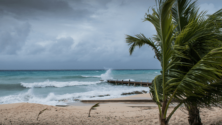
Texas Prepares For Major Flood Threat As Hurricane Polo Sends Tropical Moisture North

E. Coli Outbreak Linked To Raw Milk Cheese Raises New Food Safety Concerns Across The U.S.

Nelly Opitz and the Limits of Being Seen
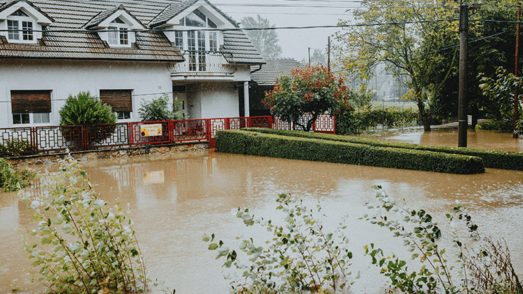
Heavy Rain Triggers Flooding Across Parts Of West Central Texas